Using Machine Learning to Restore California’s Coastlines
(Credit: AlessandroZocc).
Across California’s coastline, a deceptively vibrant plant is quietly reshaping entire ecosystems.
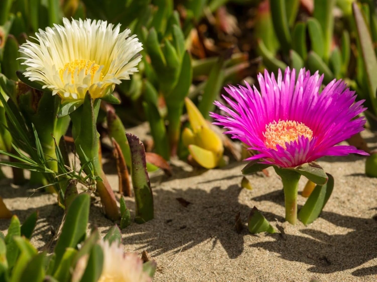
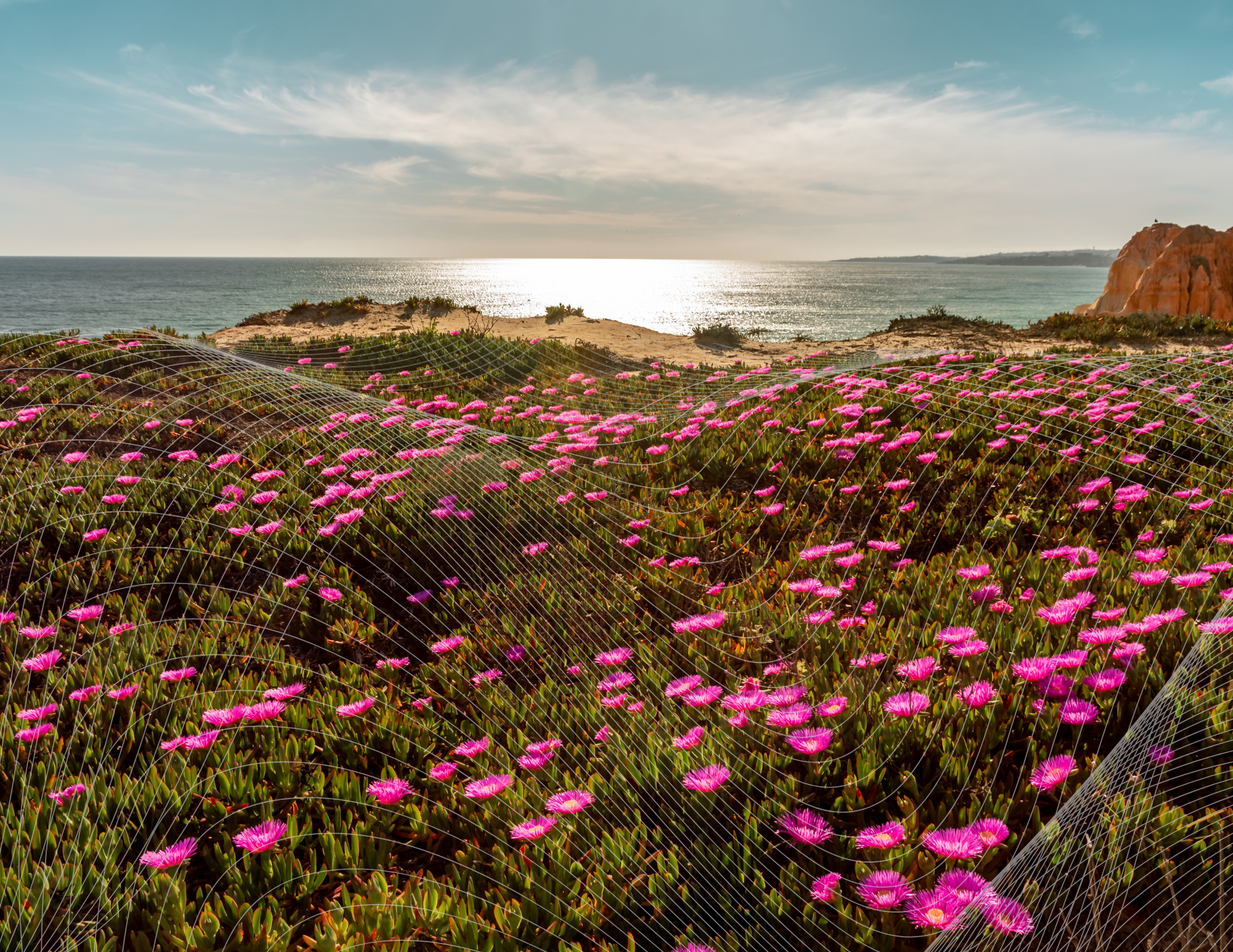
With bright pink and yellow flowers, iceplant (Carpobrotus edulis) is common along the coast, but this nonnative plant grows rapidly and outcompetes native vegetation, making it an invasive species.
Today, an NCEAS-led team of scientists and practitioners are turning to artificial intelligence to better understand (and ultimately combat) its expansion, along with similar threats to natural ecosystems.
Seeing the Landscape in New Ways
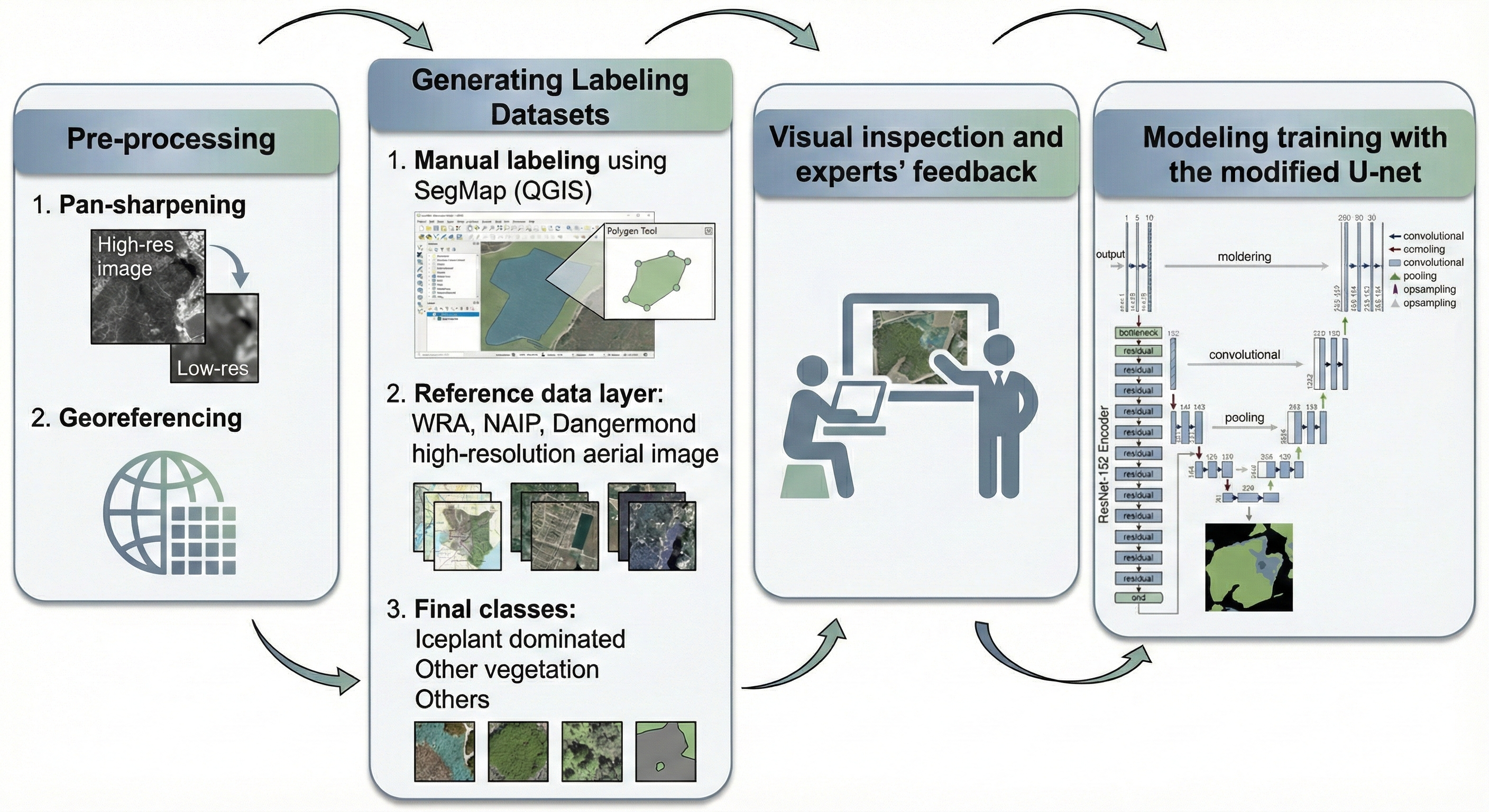
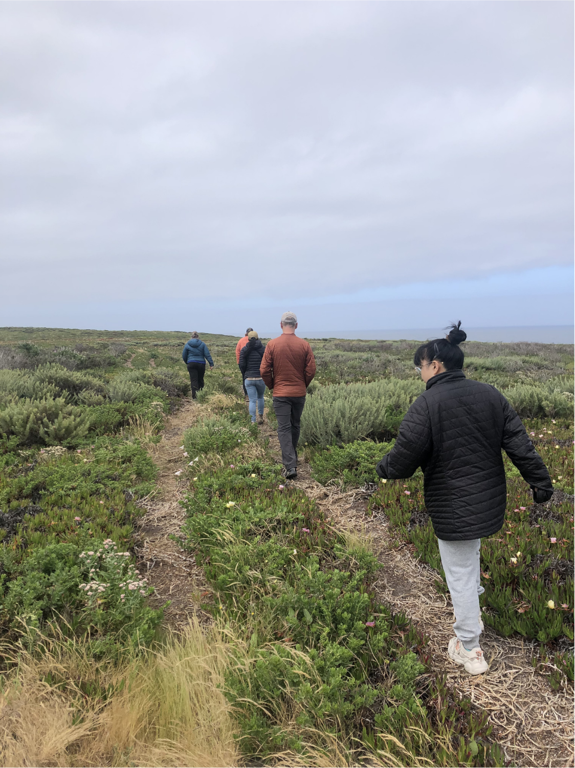
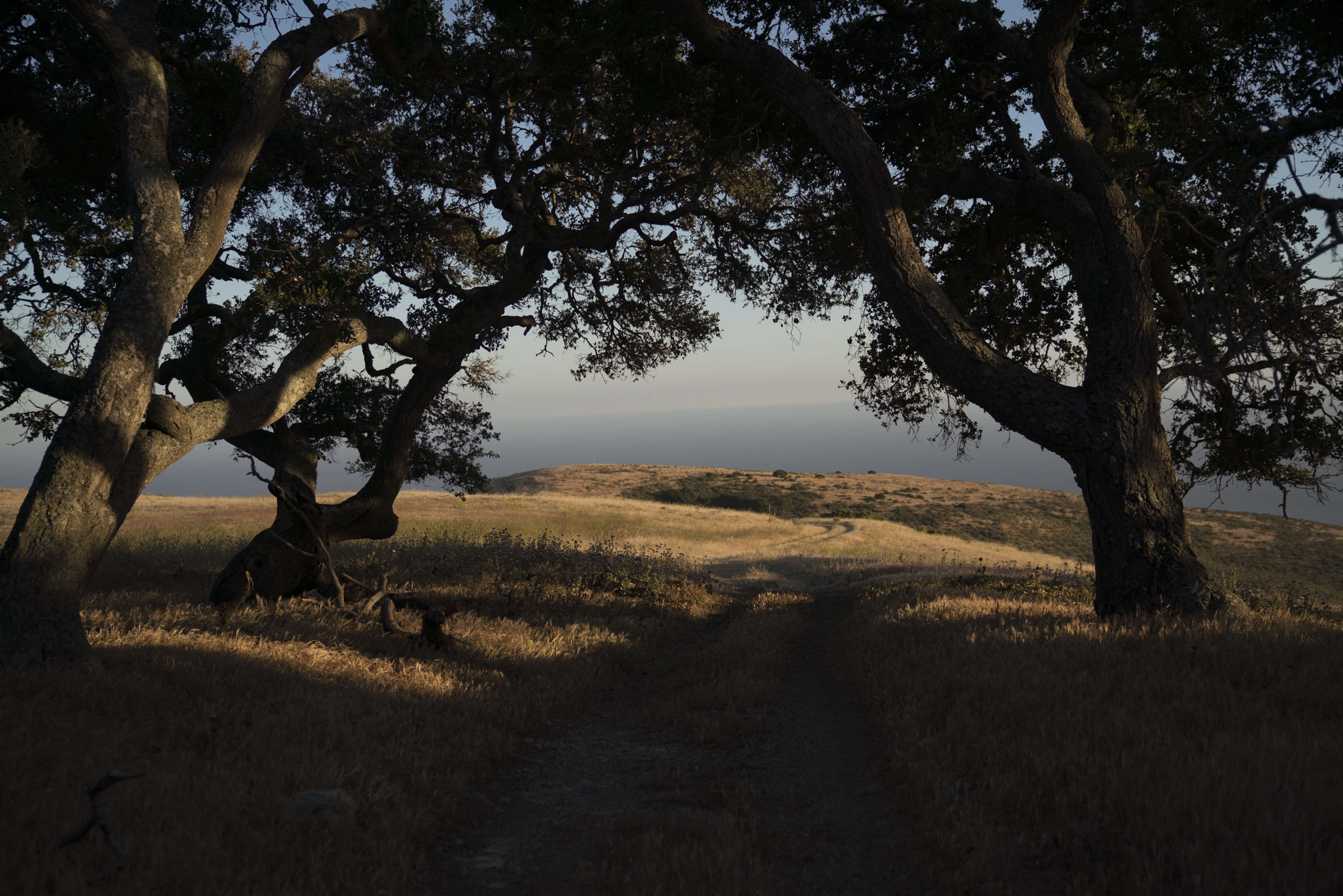
Part of the AI for the Planet initiative, this project brings together researchers at NCEAS and The Nature Conservancy (TNC), in a NASA-funded project to map and monitor iceplant across the Jack and Laura Dangermond Preserve near Santa Barbara, California. By combining satellite imagery, aerial data, and advanced machine learning techniques, they are building tools that can track invasive species at an unprecedented scale and help guide restoration efforts in real time.

Monitoring invasive plants like iceplant requires both detail and frequency, a combination that has traditionally been difficult to achieve. As NCEAS data scientist and Bren teaching assistant professor Carmen Galaz García explains:
“Part of our project investigates how artificial intelligence can help us fill in the gaps between different data sources. To monitor invasive plant species we want to be able to see small changes on the ground over relatively short periods of time. Satellite images provide frequent snapshots of the Earth, but it can be difficult to see small features on them. On the other hand, pictures taken from planes show finer details but are taken far less frequently. AI is used in our project to combine these different data sources to monitor at a frequency and spatial resolution needed to support actionable environmental restoration decisions.”
By integrating these complementary data sources, AI enables researchers to observe both the fine-scale vegetation structure and the broader patterns of change over time — a critical key to effective land management.
From Data to Action
At the heart of the project is a deep learning framework designed to map iceplant coverage across time. By automating what was once a
labor-intensive process, the team can analyze vast landscapes quickly and consistently. As NCEAS postdoctoral researcher Zhe Wang puts it:
“We have developed a deep learning-based framework to predict iceplant coverage in the Dangermond Preserve. This innovative approach can be reproducibly applied to data from different years with minimal need for expert input. Compared to previous mapping methods, our framework significantly increases both efficiency and accuracy. Looking ahead, we see great potential to extend this methodology to statewide California iceplant mapping—a task that has not been accomplished before.”
This approach leverages high-resolution datasets, including imagery from the National Agriculture Imagery Program (NAIP) and WorldView-2 satellites, which provide the spatial and spectral detail needed to distinguish iceplant from native coastal scrub. These datasets allow researchers to compare conditions across years, evaluate restoration success, and detect new invasions early.
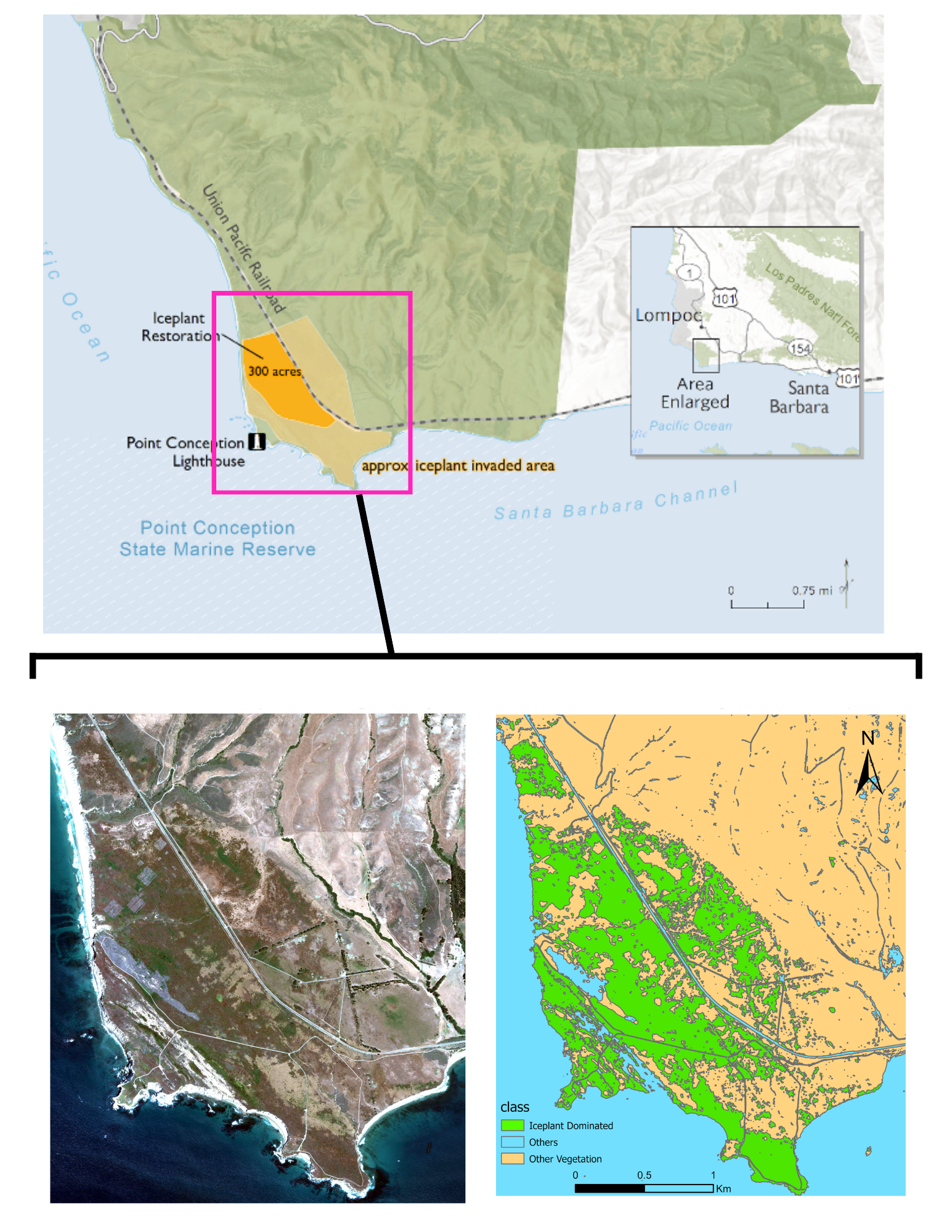
(Credit: TNC) 2: High-resolution map of iceplant locations within the Dangermond Preserve's Cojo Terrace in 2023 (Credit: Zhe Wang).
Why Iceplant Matters
Though visually striking, iceplant poses a significant threat to biodiversity in coastal ecosystems. Galaz García offers essential context:
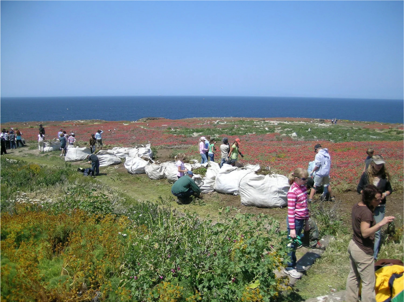
“Iceplant was introduced to California from South Africa in the early 1900s as a way to manage erosion control. Since then, it has invaded numerous sensitive ecosystems in our coasts by forming large, dense mats up to hundreds of acres in extent. These impenetrable iceplant mats alter the soil chemistry and ecohydrology [the interaction between the water cycle and ecosystems] of the area, often displacing native plant species including endangered or threatened species and ultimately negatively affecting biodiversity. The project is timely given the combination of technical tools at our disposal (satellite imagery, computing power) and the current need The Dangermond Preserve has to remove at least 300 acres of iceplant and track and report the outcomes of these efforts.”
With hundreds of acres targeted for removal at the preserve, accurate and timely data are essential to measure progress and guide future work.
Scaling Conservation with AI
Traditional field surveys can provide valuable information, but they are often limited by time, accessibility, and scale — especially in large or rugged landscapes. AI offers a way to overcome these constraints. Wang explains that using AI serves as both a data preparation tool and an analytical engine in the Iceplant project. More specifically, she notes that:
“An AI-powered interactive image segmentation plug-in is used to rapidly create high-quality training labels. Then we developed a deep learning based workflow to automatically classify and map iceplant across multi-temporal satellite and aerial imagery. Unlike traditional surveys that provide 'snapshots' in time, the deep learning workflow creates a reproducible, automated process that can monitor the entire preserve simultaneously and detect changes over years with minimal manual effort.”
This shift from manual mapping to automated, repeatable workflows allows scientists and land managers to monitor ecosystems continuously, rather than relying on occasional surveys.
Collaboration for Impact
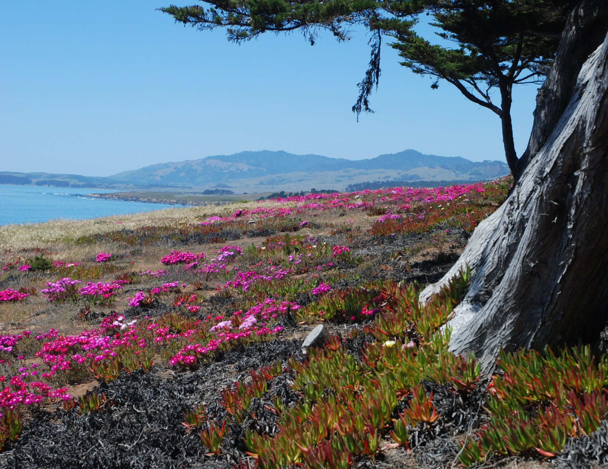
(Credit: Carmen Galaz García)
The project thrives on close collaboration among scientists, data providers, and conservation practitioners. Each member plays an essential role in gathering the information needed to design tools to help monitor iceplant on the preserve. Galaz García elaborates:
“Working with the TNC scientists and restoration experts has been invaluable as they have on-the-ground knowledge that strengthens the research and makes it directly applicable to their restoration goals. NASA is our funding agency and main data provider. Working with them has been great, especially as we are able to request satellites to collect images of the Preserve during specific seasons.”
By aligning scientific innovation with management needs, the team ensures that their work translates directly into real-world conservation outcomes.
Responsible AI for Environmental Solutions
As AI becomes more central to environmental science, ensuring transparency and reliability remains a priority. Wang emphasizes:
“We ensure responsibility by keeping a 'human-in-the-loop' through the interactive segmentation process, where experts validate and refine the AI’s initial labels to prevent bias or errors. Transparency is maintained by developing a reproducible workflow, allowing other researchers to audit the methodology, verify the mapping results, and apply the same logic to future ecological datasets.”
This approach balances the power of automation with the expertise of scientists, helping build trust in AI-driven tools.
Looking Ahead
Beyond mapping current conditions, AI is revealing new insights into how ecosystems respond to restoration efforts. Wang adds:
“The most surprising aspect has been how AI can reveal the fine-scale dynamics of the treatment process, showing exactly where iceplant is retreating or rebounding in response to specific management actions. Additionally, the transition from tedious manual digitizing to interactive AI segmentation has drastically reduced the 'bottleneck' of data labeling, allowing us to focus more on conservation strategy than data processing.”
Ultimately, the project aims to equip conservation practitioners with tools that make restoration more targeted, efficient, and scalable. Galaz García shares:
“Our main goal is to provide TNC with a tool that can track the iceplant coverage at the Dangermond Preserve. This tool will give them actionable information about how much iceplant there is and where, and will inform the current mandate to remove 300 acres of iceplant from the preserve. Ultimately, this will allow for TNC to restore unique coastal ecosystems in California.”
How You Can Help
As artificial intelligence opens new ways of seeing and understanding our planet, AI for the Planet projects like this one demonstrate how data can be transformed into meaningful action. What begins as a targeted effort to map iceplant at a single preserve has the potential to scale far beyond. By developing tools that can be applied across landscapes and time, this work offers a blueprint for using AI to support conservation efforts across California and the globe.
Local communities also play a role in preventing the spread of invasive species, from volunteering to aid in iceplant removal to being conscious of what they plant in their backyards. Though it may be surprising, iceplant is still widely available for purchase and planting across California. Galaz García offers simple guidance:
“An easy way to contribute is to avoid buying and planting it! There are many beautiful native plants that are great alternatives.”
If you’re unsure which native plants work best in your area, you can explore tools like the Pollinator Companion, developed by an NCEAS Morpho Initiative working group.

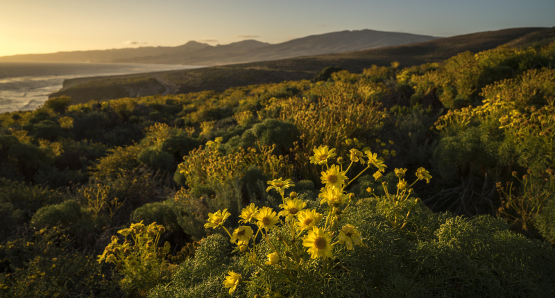
(Credit: Greg Trainor)